

Land Surveying and Boundary Demarcation in Mexico
A guide to land surveying and boundary demarcation (deslinde) in Mexico: what a cadastral deslinde is and what a topographic survey involves.
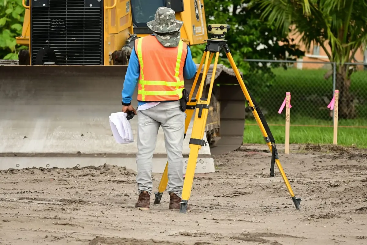
Buying a plot of land seems simpler than buying a house, but it hides a risk that many buyers discover too late: the measurements on the deed (escritura) may not match what is actually on the ground. Boundary demarcation (deslinde) and land measurement are precisely the tools used to know, with certainty, where a property begins and where it ends. In this guide we explain what each one is, who carries them out, when you need them, and why it pays to settle them before signing any transaction.
What is the deslinde of a plot of land?
The deslinde is the technical procedure through which the boundaries (linderos) of a plot of land are determined and physically marked, precisely defining its shape, its adjoining properties (colindancias) and its actual surface area. Put simply, it answers the question: how far does my property extend, and where does my neighbor's begin?
When that deslinde is tied to the municipality's official records, it is called a cadastral deslinde. The cadastre (catastro) is the municipal office that keeps the inventory of properties within its territory, including their location, measurements and value. A cadastral deslinde aims to make the physical measurements of the land match what is registered at the catastro office, which is often a requirement to update the predial (property tax) account or to regularize a property.
A deslinde is not the same as a deed
The deed (escritura) proves who the owner is; the deslinde defines exactly what is owned on the ground. A property can have a deed in perfect order and still show differences between the measurements in the document and those in the field. That is why the two procedures complement each other, and neither replaces the other.
The topographic survey
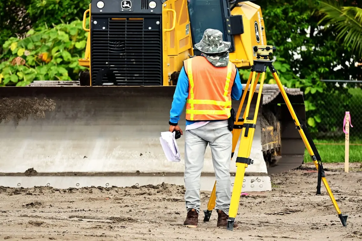
The topographic survey (levantamiento topográfico) is the fieldwork used to measure the land. A surveyor takes the measurements of each side (the boundaries), the angles, the orientation and, in many cases, the changes in ground elevation. With that data, the surveyor prepares a topographic plan that represents the property's actual geometry and calculates its exact surface area.
Today it is common for these surveys to rely on equipment such as total stations and high-precision GPS receivers, which make it possible to locate the land using coordinates. The result is not just a drawing: it is the technical foundation later used for the deslinde, the cadastral update, or to support a deed.
What a topographic plan usually includes
- The measurements of each boundary and the total surface area of the land.
- The name or reference of the adjoining properties (who borders each side).
- The orientation (north) and, where applicable, reference coordinates.
- The location of buildings, fences, boundary markers (mojoneras) and other existing features.
- The details and signature of the responsible expert (perito) or surveyor.
When the deed doesn't match reality
One of the most common reasons to order a deslinde is that the measurements in the deed don't match those of the land. This is more common than it seems, especially with older properties, rural parcels, or lots that were subdivided without updating the documents. The differences can stem from imprecise measurements made decades ago, fences moved over time, or errors when transcribing the measurements.
These discrepancies matter because they affect the value, the use and even the ability to sell or obtain a loan against the land. The most common differences can be grouped as follows:
| Situation | What it usually implies |
|---|---|
| The land measures less than the deed states | You could be paying for surface area that doesn't exist; it's worth renegotiating or correcting |
| The land measures more than the deed states | There may be encroachment on a neighbor or unregularized surface area |
| The boundaries don't line up with the fences | Possible overlap with the neighboring property; risk of conflict |
| The adjoining properties don't correspond | The document may describe a different parcel or be outdated |
Also check the land use
Measurements are not the only thing worth checking on a plot of land. Land use (uso de suelo) determines what you can build and what you can use the property for. Learn how to confirm it in our guide on how to verify land use before closing the purchase.
Apeo and judicial deslinde in boundary disputes
When a disagreement over boundaries can't be resolved between private parties, there is a legal mechanism called apeo y deslinde. It is a procedure provided for in Mexican law to fix the boundaries between neighboring properties when they are unclear, when the markers have been lost, or when there is an active dispute with the neighbor over where each property ends.
The apeo y deslinde can be pursued in two ways. The voluntary route, when both neighboring owners agree to fix the boundaries, is usually handled before a notary public (notario público) or by mutual agreement. And the judicial (contentious) route, when there is a conflict and one of the parties goes before a judge so that, with the help of an expert (perito), the boundaries are determined in a binding manner.
Boundary disputes can drag on
A judicial apeo y deslinde can take time and generate attorney and expert fees. That is why, when you spot a possible boundary conflict, the wisest course is usually to first try to reach an agreement with the neighboring owner and a technical deslinde, before resorting to the courts. The exact rules and deadlines vary by state and by case.
Who carries out the deslinde?
The measurement and deslinde are carried out by a technical professional, normally a surveyor or expert (perito) with knowledge of topography and, in some cases, registered with the municipal or state authority. Depending on the procedure, the expert may be required to be authorized by the catastro or by the municipality itself for the document to have official validity.
Who typically gets involved
- Surveyor or expert (perito): does the survey and prepares the plan.
- Municipal catastro: validates and records the measurements for predial and regularization purposes.
- Notary public (notario público): steps in when the deslinde is reflected in a deed or an agreement.
- Judge and court-appointed expert: take part only in the apeo y deslinde through the contentious route.
Before hiring, ask for references, confirm that the expert is authorized for the procedure you need, and request that the plan include their details and signature.
How much does it approximately cost?
The cost of a deslinde or topographic survey varies quite a bit, and there is no single nationwide rate. Factors such as the size of the land, its location, how rugged the terrain is, how urgent the job is, and whether a procedure before the catastro is required all play a role. Broadly speaking, a survey of a small urban lot usually costs less than that of a large rural parcel or one that is hard to reach.
As a general, approximate reference, fees may be quoted per lot, per hectare, or per linear meter of boundary, depending on the professional and the region. The best approach is to get at least two or three written quotes that specify what the service includes (fieldwork, plan, calculation report and, where applicable, the catastro procedure). Don't treat any figure as definitive without a formal quote for your specific case.
What to ask for in the quote
- A breakdown of what is included: fieldwork, plan, calculation report and procedures.
- Whether or not the price covers handling the process with the municipal catastro.
- Estimated delivery time for the plan and for any procedure.
- Whether the expert is authorized for the registration you need.
Why it's key before buying land
Having the deslinde and measurement done before you sign protects you from buying problems. Verifying that the actual surface area matches the deed, that the boundaries are clear, and that there are no encroachments helps you avoid costly surprises and conflicts with neighbors. It also gives you leverage to negotiate the price if the land turns out to be smaller than advertised.
Ideally, ask the seller for a recent topographic plan or include the deslinde as a condition within the purchase process. If you are exploring options, browse the available land listings and use our property search to filter by area. Once you have the measurements clear, you can estimate its value with our tool to calculate how much it's worth.
Frequently asked questions
Is a deslinde required to buy a plot of land?
It isn't always a legal requirement, but it is highly recommended. Even though you can formalize the deed (escriturar) without a recent deslinde, having one gives you certainty about the actual measurements and reduces the risk of future conflicts with neighboring owners.
What is the difference between a deslinde and a topographic survey?
The topographic survey is the technical measurement of the land and the plan that results from it; the deslinde is the act of defining and marking the boundaries based on that measurement. In practice they usually go hand in hand, since the deslinde relies on the survey.
What should I do if the measurements in my deed don't match?
It's advisable to hire an updated survey and go to the municipal catastro to review regularization. If the difference involves an encroachment or a disagreement with a neighbor, you may need legal advice and even an apeo y deslinde. Each case depends on the size of the difference and on local rules.
Is an apeo y deslinde always a lawsuit?
Not necessarily. It can be pursued voluntarily when the neighboring owners agree. The judicial route is reserved for when there is a real conflict over the boundaries and the parties cannot reach an agreement.
Looking for land with clear measurements?
Explore our catalog of land listings and, when you find the right one, calculate its value before deciding. Certainty about boundaries starts with choosing well.
Listings
Recent properties
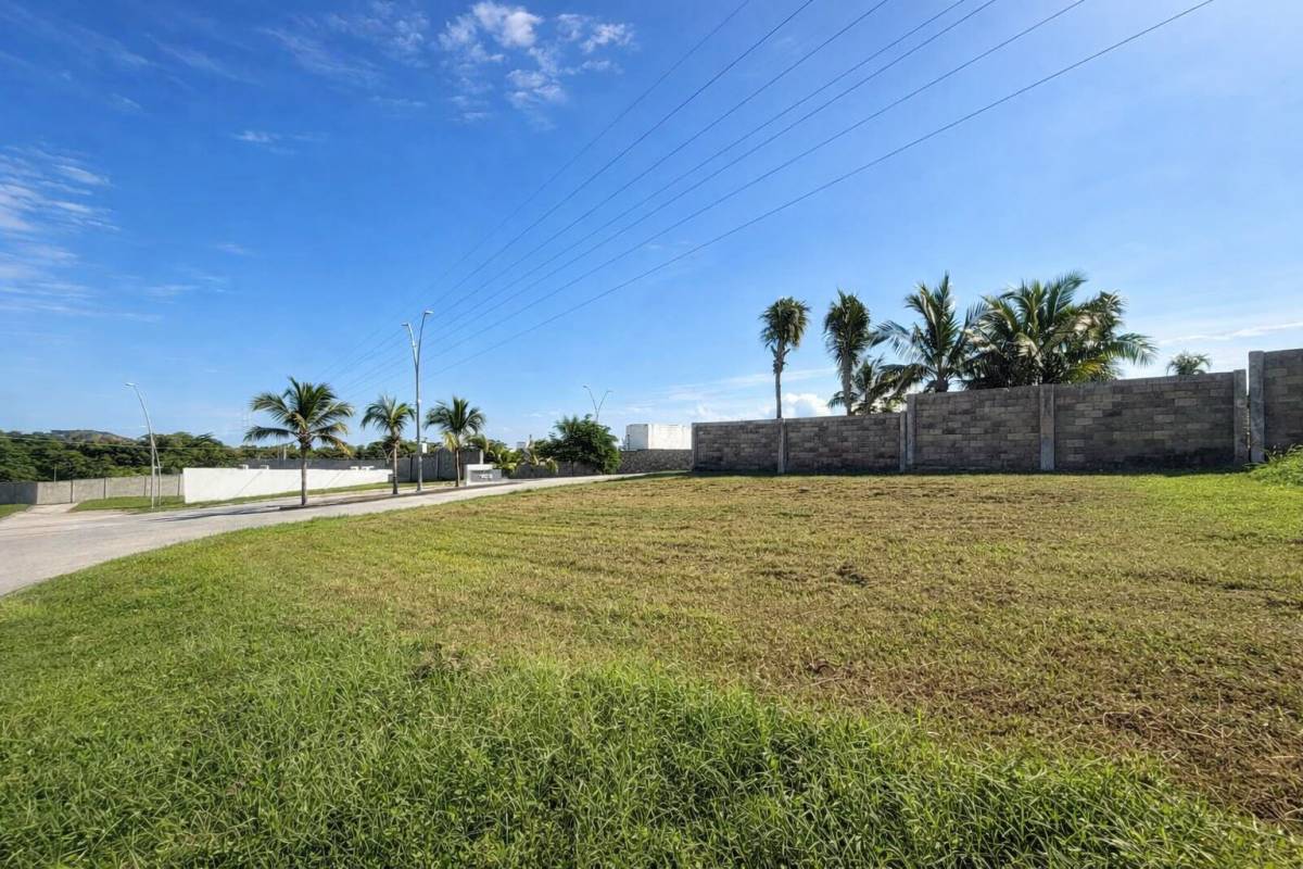 For sale
MX$1,440,000
Land
Land for Sale in Residencial Lomas del Dorado
Boca del Río, Veracruz
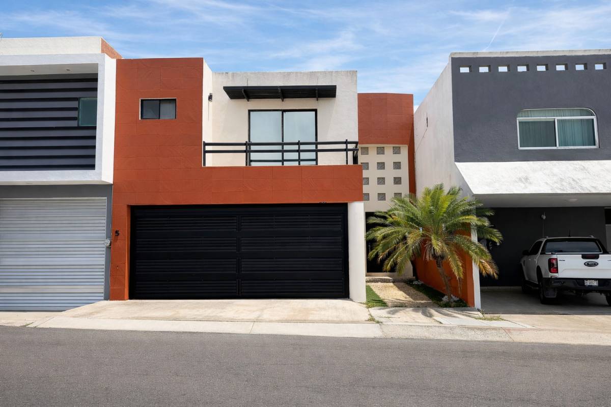 For sale
MX$3,900,000
House
House for Sale in Las Lomas, Riviera Veracruzana | 3 Bedrooms with Private Bathrooms
Alvarado, Veracruz
 For sale
MX$10,900,000
Land
Attention Investors
Puerto Vallarta, Jalisco
Keep reading
Related articles

Infonavit Self-Build Loan: Build Your Home on Your Own Land
Infonavit self-build housing: requirements, loan amount, how funds are released in stages, and what your land must meet to build your home with credit.
Inmobiliaria32 Team
How to Keep Squatters Off Your Vacant Lot: Prevention Guide
How to prevent the invasion of a vacant lot in Mexico: paperwork in order, fencing, visits, predial and proof of possession. Concrete steps before it happens.
Inmobiliaria32 Team
Squatters on Your Land: How to Legally Get It Back
If squatters took over your lot, act fast: file a dispossession complaint, an interdicto, a reivindicatorio suit, and know what never to do. A step-by-step guide.
Inmobiliaria32 Team

Urban vs. Suburban Land: Which Lot Should You Buy?
Urban or suburban lot? We compare price per square meter, available utilities, appreciation and paperwork so you can decide where to build.
Carlos Mendoza
Legal and paperwork
Keep learning before you decide
102 guides on legal and paperwork, and thousands of properties listed across Mexico.